街路の下の鉄道から、接続を示す路線図へ
How London learnt to travel underground
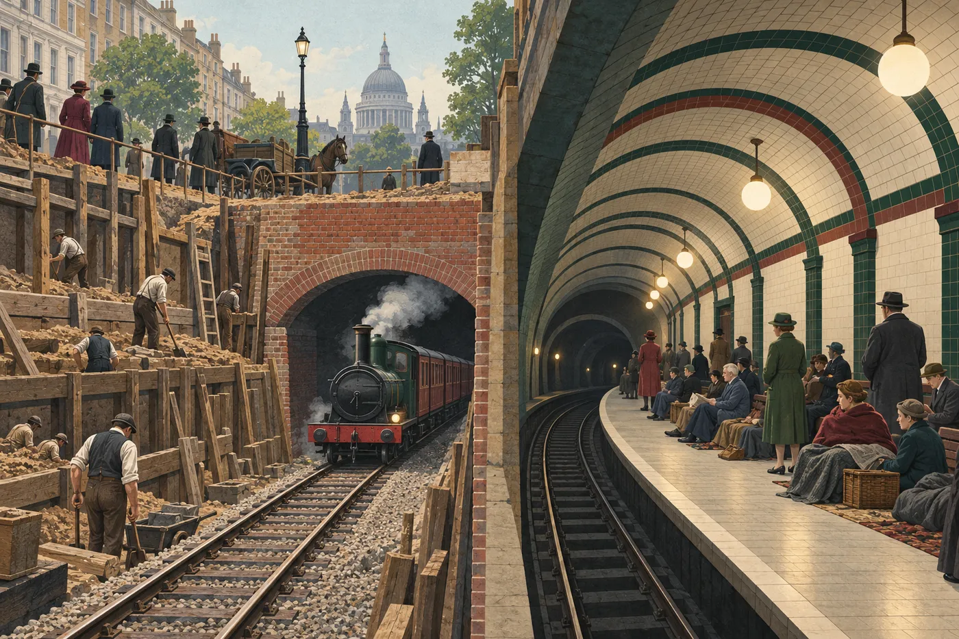
On 10 January 1863, the Metropolitan Railway opened to passengers between Paddington and Farringdon. Connecting major railway stations, it offered a new route through London. It was the world's first underground passenger railway. The trains were pulled by steam locomotives1, so an underground journey began with technology already familiar from railways above ground.
The early lines were built using a method called cut and cover2. Long trenches3 were dug from the street, tracks were laid, and a roof was built over them. Built close to the surface, these lines were different from the deep tunnels many people now picture. Work could change the streets above: buildings sometimes had to be removed. In 1868, the first section of the District Railway opened between South Kensington and Westminster.
A further change came in 1890, when the City & South London Railway opened. Its trains ran through deep tunnels, and the railway used electric power. Those narrow, round tunnels help explain the name the Tube4. Sections of that railway later became part of the Northern line.
As the network grew, understanding it became a design problem as well as an engineering one. In 1931, Harry Beck produced a diagrammatic map5. First issued in 1933, it used horizontal, vertical and diagonal lines, with evenly spaced stations. Designed to show connections rather than exact distances, the map helped passengers plan journeys. Passengers studying it could see where to change trains, although the space between two stations on the page did not show their true distance apart.
During the Second World War, Underground stations were used as air-raid shelters6. People sheltering7 on platforms gave places built for travel another purpose. The history of the Underground therefore includes much more than trains. It is also a story of construction, public safety and wayfinding8: helping people understand where they are and where to go next.